Carrick
CARRICK, DEVLINREAGH & DEVLINMORE
5 KM FROM CARRIGART VILLAGE IS A PLACE KNOWN LOCALLY AS “THE GAP”. WHY NOT PARK UP AT THE LAY-BY, READ A LITTLE ABOUT THE AREA AND TAKE A STROLL/CYCLE ON ONE OF 4 RECOMMENDED ROUTES.
ROUTE 1 (ABOUT 40 MINS)
Starting at the lay-by, take the 1st right and follow the black arrows.
a. on the route marks Jimmy Jacks Well, (now piped). It was often the only local source of water in dry spells in older days. Just after the well is a moderate incline for about 250m, known as Jimmy Jacks Brae.
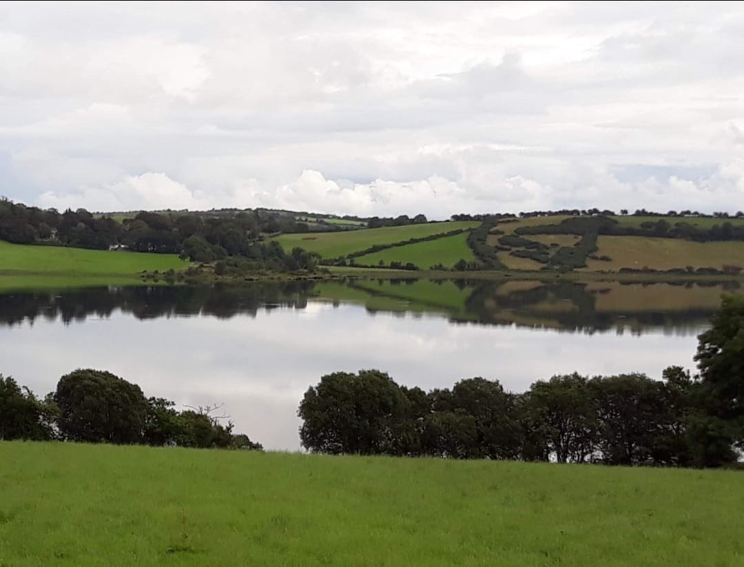
b. on the route is known as “The Slate Row”. There are breathtaking views of Mulroy, Fanad and Knockalla along this part.
c. is Hughdie’s Lane.
ROUTE 2
If you wish to extend your walk/cycle by 20 minutes, follow green arrows. The road marked
d. is called “The Leochan” Road
e. is called “An Charrain”, and there are spectacular views of the Inishowen mountains, Mulroy Bay and Fanny’s Bay in Downings along this stretch.
ROUTE 3
If you prefer a more leisurely walk, take a left after the lay-by as indicated by the blue arrow. 2 Km further on is a crossroads known as the “Lint Stone” (No longer accessible to the public).
ROUTE 4
Starts here, and is indicated by the orange arrows. This walk/cycle is about 4Km with beautiful views to either side.

